[{"heading": "Read the ground", "alt": "Contour plan of Boncuklu with red excavated areas, blue surface-scraped areas, a north arrow and a 20-metre scale.", "caption": "Historical contour plan of Boncuklu. Red marks excavated areas; blue marks surface-scraped areas.", "observation": "Contours at 0.25-metre intervals show the mound’s form. Letters identify the selected research areas.", "limit": "This historical plan shows selected areas. It is not a current visitor map or a complete plan of the final excavation.", "href": "/about-boncuklu/the-site/", "key": "plan", "number": "01", "src": "/assets/trace-plan-960.webp", "srcset": "/assets/trace-plan-480.webp 480w, /assets/trace-plan-960.webp 960w", "width": 960, "height": 1075, "original": "/wp-content/uploads/2013/06/BK-plan.jpg", "archive": "https://web.archive.org/web/20230616175905id_/http://boncuklu.org/wp-content/uploads/2013/06/BK-plan.jpg"}, {"heading": "Follow an object", "alt": "A long shell bead and a small grooved stone object photographed together on red woven fabric.", "caption": "A shell bead and a grooved stone object featured in the project’s field note of 15 August 2013.", "observation": "Two different materials and worked surfaces appear side by side. The field note identifies the elongated object as a shell bead.", "limit": "The photograph does not independently establish age, function or raw-material origin. The field note supplies the identification; these are not obsidian tools.", "href": "/guides/obsidian-and-exchange/", "key": "objects", "number": "02", "src": "/assets/trace-objects-960.webp", "srcset": "/assets/trace-objects-480.webp 480w, /assets/trace-objects-960.webp 960w", "width": 960, "height": 720, "original": "/wp-content/uploads/2013/08/BK13-Find-001.jpg", "archive": "https://web.archive.org/web/20161010113523id_/http://boncuklu.org/wp-content/uploads/2013/08/BK13-Find-001.jpg"}, {"heading": "Look closer", "alt": "Black-and-white microscope image of plant tissue with a honeycomb-like cellular structure and a 100-micrometre scale bar.", "caption": "Microscope view of charred clubrush tuber tissue, identified in the project archive. Scale bar: 100 micrometres.", "observation": "The cellular structure becomes visible at a scale far smaller than a whole plant or a meal.", "limit": "The archive identifies the plant material. This image alone does not establish a particular meal or the quantity eaten. The instrument annotation reads 14/02/2011; it is not the archaeological date.", "href": "/guides/plants-and-cultivation/", "key": "food", "number": "03", "src": "/assets/trace-food-960.webp", "srcset": "/assets/trace-food-480.webp 480w, /assets/trace-food-960.webp 960w", "width": 960, "height": 768, "original": "/wp-content/uploads/2013/06/ancient-charred-clubrush-tuber.jpg", "archive": "https://web.archive.org/web/20230620215314id_/http://boncuklu.org/wp-content/uploads/2013/06/ancient-charred-clubrush-tuber.jpg"}]
Three views of the evidence — not three successive excavation phases.
Ancient occupation · approximate
9400–7500 cal BCE
Place
The Konya Plain
Research
Excavation 2006–2022
Dates summarise the 2026 publication; the familiar 8300–7800 BCE range covers a more limited part of the sequence. The final full field study season was 2023. Read the chronology and its sources.
01 / READ THE GROUND
A long change, seen in small things.
Boncuklu helps us ask a better question than “when did farming begin?”: how did different ways of living fit together?
FIELD NOTES
Find → method → interpretation. Follow the steps, and see where certainty ends.
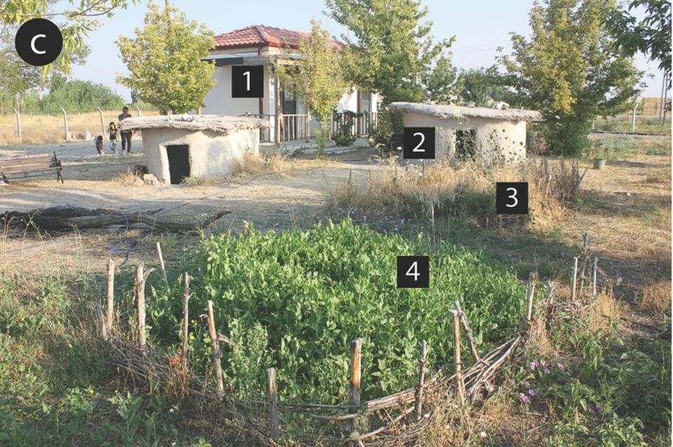
Boncuklu Höyük is near Hayıroğlu in Karatay, Konya. Replica buildings and interpretation help explain the site; a visit is not a promise of an active excavation.
Confirm access and arrangements with the museum administration before travelling. Our checklist keeps the questions together.